19 November 2025
Winning on the Roads – How Better Collaboration and Planning Can Tackle World Cup Disruption
Tags:

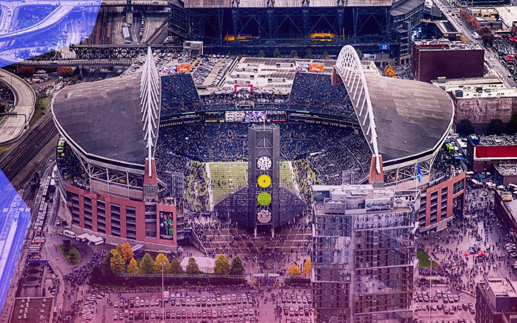
The World Cup is coming to U.S. cities in 2026, and while the world will be watching what happens on the field, what happens on the roads could define the experience for millions.
Cities like Houston, Miami and Los Angeles aren’t just preparing to welcome international visitors — they’re preparing for the most complex road network coordination challenge they’ve ever faced. Lane closures, maintenance work, temporary traffic controls, special events and emergency access needs will all converge within tight windows and dense urban areas.
To meet the moment, cities need more than traffic plans.
They need a smarter way to plan, coordinate and collaborate — across departments, agencies and stakeholders — using real-time, shared data and proven digital tools.
The Challenge: Events That Outpace Existing Systems
Hosting a World Cup match isn’t like managing a one-off festival or parade. These are weeks-long operational challenges that affect:
-
State and city DOTs
-
Public Works and Road Maintenance crews
-
Law enforcement and first responders
-
Transit authorities
-
Private contractors and utility providers
All of these groups need access to timely, accurate, and consistent information about road closures, detours, MOT plans and emergency access routes.
But in many cities, this information is buried in emails, spreadsheets, siloed systems or outdated maps.
The Solution: A Shared Map, Not a Shared Headache
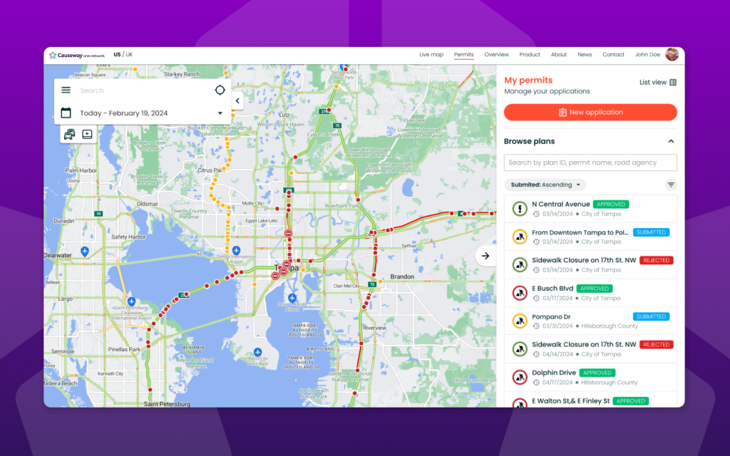
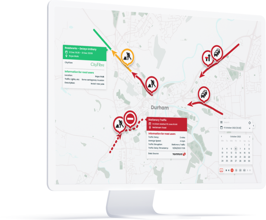
To truly coordinate at scale, cities need a single source of truth — a real-time, operational map where everyone involved in keeping the city moving can see and interact with the same data.
Causeway one.network provides just that.
It enables cities and states to:
-
View all planned and active work zones and road events in a single, interactive map
-
Coordinate across departments and external contractors in real time
-
Avoid clashes by visually spotting overlapping or conflicting works
-
Plot and share Maintenance of Traffic (MOT) plans and lane closure details
-
Alert agencies to conflicts or missing approvals before work happens
-
Structure road data in WZDx- and CWZ-compatible formats for future readiness
Case in Point: How Arlington Built a Smarter Game Plan
In Texas, the City of Arlington offers a proven example of how better collaboration delivers real results. As the home of AT&T Stadium — one of the busiest sports and entertainment venues in the country — Arlington routinely manages large-scale disruptions to its road network.
Since deploying Causeway one.network, Arlington has:
-
Reduced MOT conflicts across events and planned works
-
Streamlined approval and publication of road closures
-
Shared accurate information directly with drivers via navigation apps
-
Improved coordination between Public Works, Police and Communications teams
“We’re not guessing who’s doing what and where — we can see it clearly, adjust quickly, and keep the city moving,” said Keith Brooks, Deputy Director of Public Works and Transportation.
Omaha’s Real-Time Game Plan
In Omaha, NE, city agencies worked together to roll out Traffic Management and Live Link ahead of the College World Series.
The result?
-
Real-time road updates were pushed directly to Waze, Google Maps and Apple Maps
-
Field crews could activate and update closures dynamically
-
The city reduced frustration for drivers and improved safety downtown during a high-pressure event
By digitizing coordination and closing the communication loop between departments, Omaha was able to respond faster, manage the network smarter, and keep residents and visitors moving.
🧠 Coach’s Corner: 3 Winning Moves for Smarter Planning
1. Get your data house in order
Aggregate road closure, MOT and event data into one shared operational map. You can’t coordinate what you can’t see.
2. Involve everyone — early
Bring in all relevant teams — Public Works, Police, Communications, contractors — during the planning phase, not just during execution.
3. Pressure test your plans
Simulate traffic impacts and stress-test detour routes using historic and planned data — before issues arise.
Beyond Coordination — Towards Confidence
When cities centralize their road event data and enable true collaboration, they move from reactive firefighting to proactive control. That means:
✅ Fewer surprises
✅ Faster decision-making
✅ Smoother traffic flow — even on the busiest days
And it doesn’t just benefit operations — it creates a safer, more predictable experience for residents, visitors and emergency services.
🛑 Ready to build your traffic game plan for 2026?
Cities like Arlington and Omaha are already ahead of the curve — using Causeway one.network to:
✅ Coordinate MOTs and closures
✅ Share live updates with drivers
✅ Keep teams and road users on the same page
