Live Link
Real-time closure communications to protect road crews and drivers
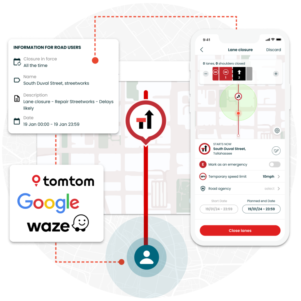
Live Link is an integrated solution that pushes accurate and timely closure information to drivers, directly from the work zone. Road agencies, contractors and event operators can easily communicate safety-critical information to leading navigation providers including Google Maps, Waze, Apple Maps and TomTom.

Why use Live Link?
Get the right information, to the right people, at the right time
Influence driver behavior
Live Link instantly pushes crucial, real-time work zone information to leading navigation providers, which is then made available to road users. Thanks to our direct integrations, this enables safer, more efficient and less disrupted journeys.
Mitigate disruption on your network
By alerting drivers of approaching closures with timely alerts, Live Link reduces the risk of work zone incidents and can help redirect journeys. Live Link enables agencies to quickly react to live situations like traffic incidents or extreme weather to keep road users safe.
Improve visibility and accuracy
Live Link provides agencies an accurate, real-time view of what closures are planned and active across their entire network. With a single, authoritative record of closures, teams can better manage MOT plans and generate detailed reports to inform decision making.
Key features
Improving Safety
Intuitive tools that boost data accuracy and safety
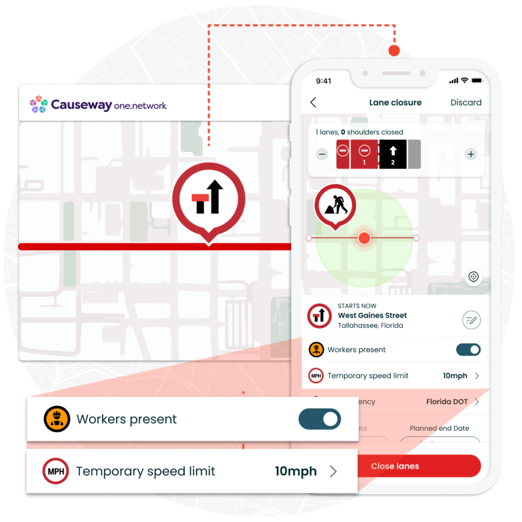
- Teams can plan lane or road closures ahead of time, with simple and easy-to-use applications that produce highly accurate geometries.
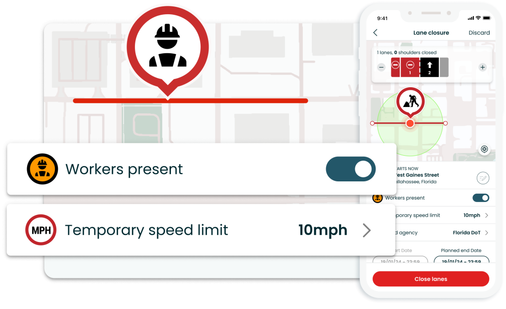
- Works crews on-site can quickly, and safely close and re-open lanes with the Live Link mobile app.
- Improve visibility of changing work zone conditions, by flagging when workers are present and setting temporary speed limits associated with the lane closure.
Influencing Drivers
Trust that your data reaches navigation providers
- The Causeway one.network platform is trusted by over 200 road agencies in the UK and the US.
- Our direct integrations with providers including Waze, Google Maps, TomTom, Apple Maps and Here reflect our industry-leading experience built over the past 11 years.
Taking Control
Manage major infrastructure projects & large events
- Empower contractors with intuitive web and mobile applications to easily manage closures across major infrastructure projects.
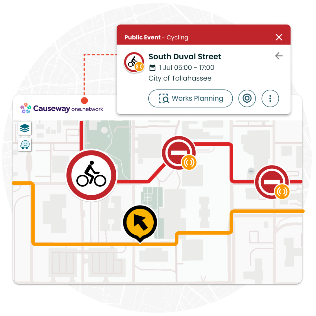
- Reduce localized congestion caused by large events by pushing information closures and detours to drivers and key stakeholders.
- Easily coordinate and communicate across jurisdictions for pre-planned and rolling road closures for sports events including marathons, cycle races and big games.
More features
Integrate with Traffic Management
Accurate geometries and automations
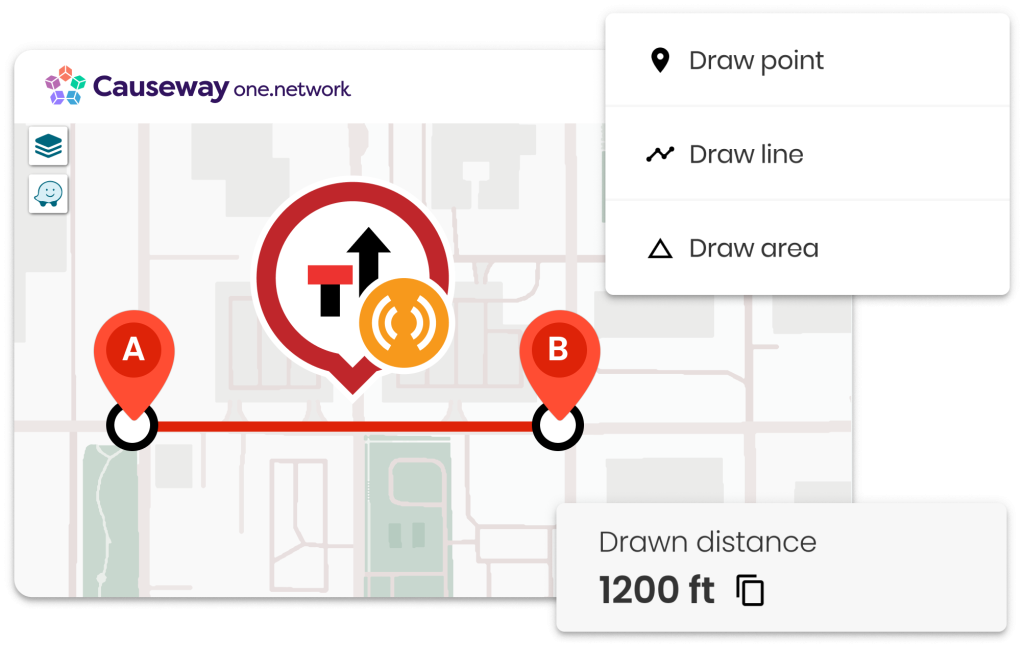
Live Link integrates seamlessly with the Traffic Management module, ensuring closure geometries are accurate for navigation apps and planned road or lane closures automatically activate as required.
Live Link Mobile App
Live updates from the roadside
For work crews and team members on the move, Live Link is available as an intuitive, off-the-shelf app available on iOS and Android, for use on mobile and tablet.
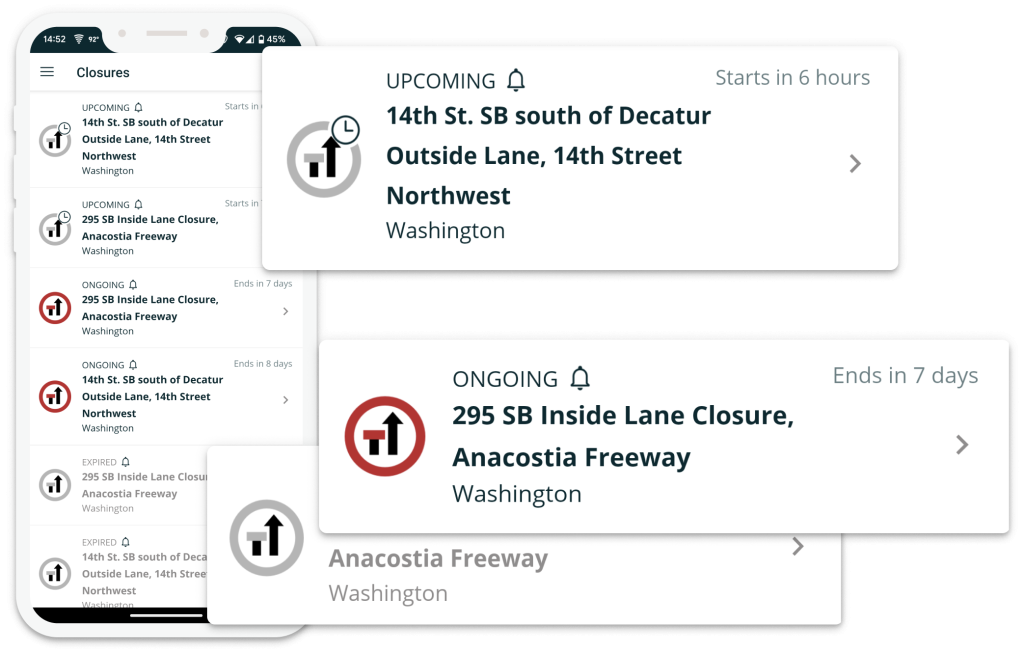
Dashboards and Filters
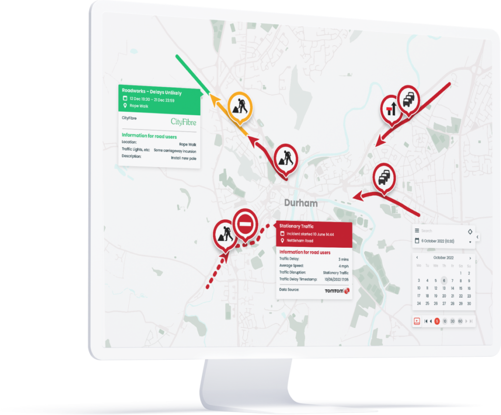
Quickly visualize closures on your network
See your closure information the way you want to, with real-time dashboards and filters that make it quicker and easier to manage and coordinate disruptions on your network.
Related customer stories
